Seeing More in Every Acre
When we planned this event with Landview Drones and Entegrity Ag Solutions, I knew we'd see some impressive technology in action. What I didn't expect was how well the two presentations would complement each other.
On one side was SWAT Maps, a tool focused on understanding the soil beneath our feet. On the other were drones, providing a bird's-eye view of what's happening above the ground. Individually, each technology offers valuable information. Together, they demonstrate how precision agriculture is shifting toward better, more informed decision-making.
One of the biggest takeaways from the day was that precision agriculture isn't about replacing the producer. It's about giving producers better information to work with.
The morning began with a look at SWAT Maps from Entegrity Ag Solutions. Before any drone takes flight or any variable-rate prescription is created, it all starts with understanding the field itself.
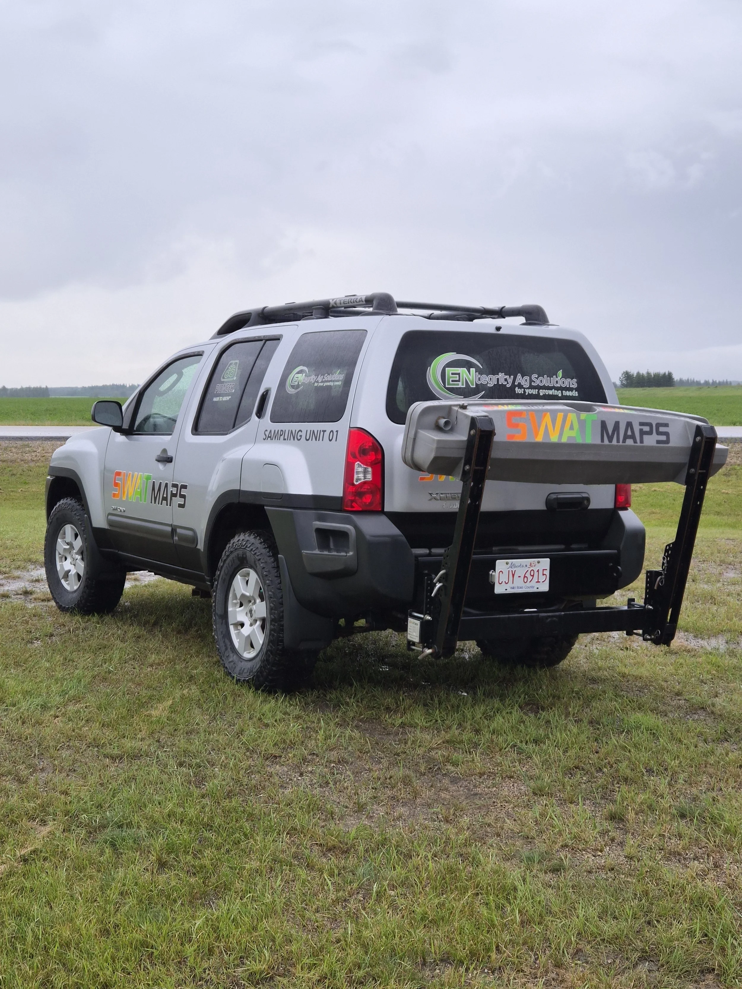
Rather than treating an entire field as one uniform piece of land, SWAT Maps divides it into management zones using layers of information such as soil texture, organic matter, elevation, topography, electrical conductivity, and water movement. Together, these layers paint a much clearer picture of how different areas of a field function and why they respond differently throughout the growing season.
As the presentation continued, one message became clear: not every acre has the same yield potential, so it doesn't always make sense to manage every acre the same way.
Instead of asking why an entire field underperformed, producers can begin asking more targeted questions. Why does one hill consistently struggle? Why does that low spot stay wet every spring? Why does one area respond well to fertilizer while another shows very little return? Understanding those differences allows management decisions to be matched to the field's natural variability, improving efficiency while making better use of inputs.
That set the stage perfectly for the afternoon drone demonstrations.
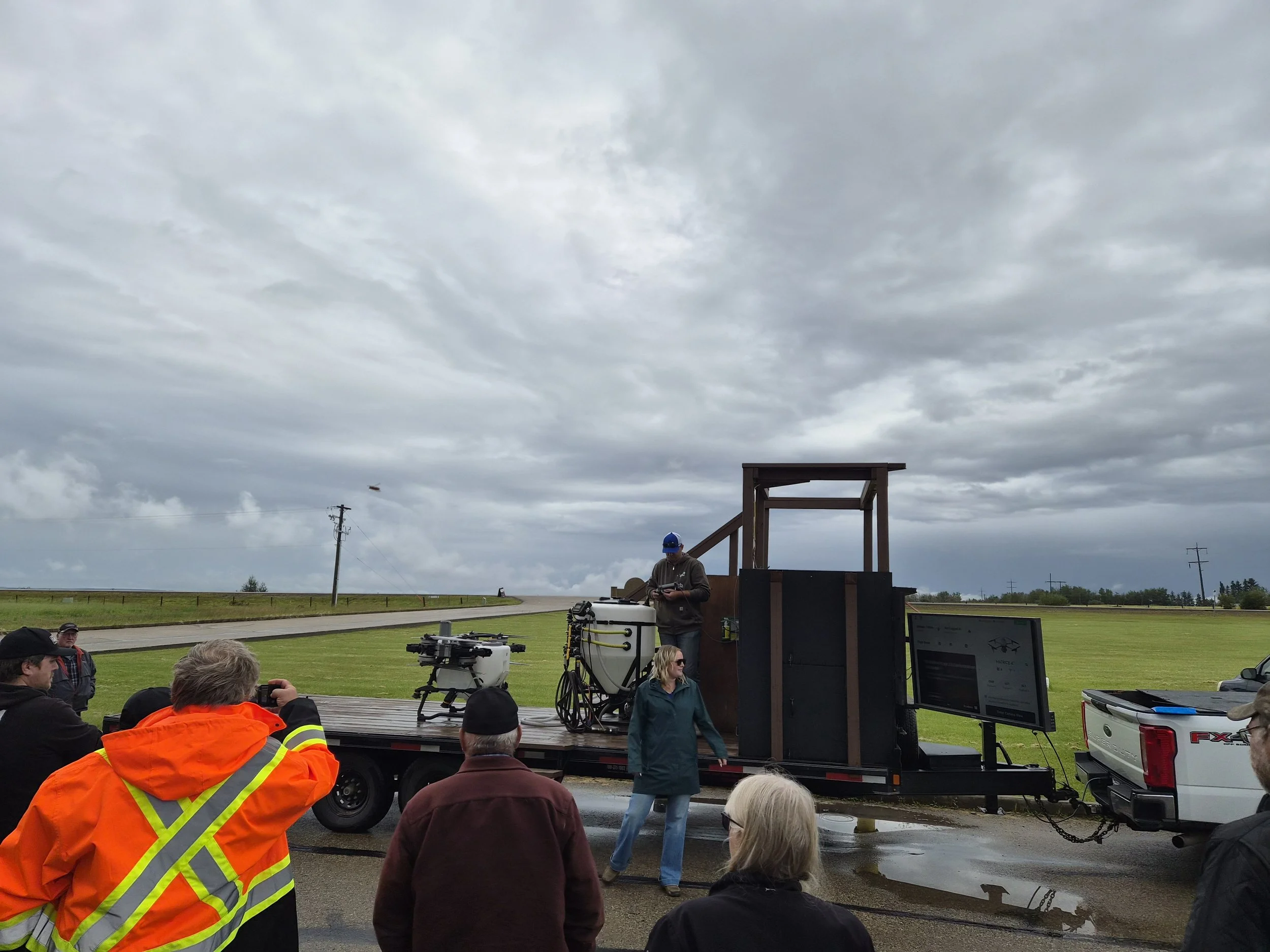
One comment from the Landview Drones team really stuck with me. The drone doesn't tell you what's wrong. It tells you where to look.
That simple statement captures the role drones are beginning to play in agriculture. Rather than replacing field scouting, they help make scouting more efficient. A multispectral drone can quickly identify areas showing stress or variability, allowing producers to focus their time where it's needed most. Whether the issue turns out to be moisture, nutrient availability, insects, disease, or something entirely different, the drone simply helps narrow the search.
Of course, there was plenty of opportunity to appreciate the technology itself.
Watching a drone autonomously follow a vehicle across the field, fly repeatable mapping missions, and safely navigate around obstacles demonstrated just how sophisticated these systems have become. Even more impressive was how effortless much of the flight appeared, with the operator supervising the mission while the drone handled much of the navigation on its own.
The demonstration of the DJI T100 spray drone also highlighted how quickly the technology is evolving. While spraying remains its primary purpose, the discussion expanded well beyond pesticide application. From spreading granular products to transporting equipment in difficult-to-access areas, producers shared ideas for practical uses that extend far beyond crop protection.
Perhaps what I appreciated most throughout the day was that the conversation never became about replacing experience with technology.
Instead, both presenters reinforced the same message from different perspectives. Good management decisions still depend on the producer. Technology simply provides better information to support those decisions.
SWAT Maps helps explain why different parts of a field behave the way they do. Drones help show what's happening in those areas today. Together, they offer another layer of insight that can help producers scout more efficiently, target inputs where they'll have the greatest impact, and better understand the variability that exists within every field.
By the end of the day, it was clear that precision agriculture isn't really about drones or software. It's about understanding our fields better than we did yesterday. As these tools continue to evolve, they'll become another part of the toolbox, helping producers make informed decisions while keeping their boots firmly on the ground.