
From Other Fields: What Global Grazing Systems Can Teach Us About Measuring Pasture
In grazing-focused regions such as Ireland, the United Kingdom, New Zealand, and parts of Australia, regularly measuring pasture is a common part of grassland management. In those systems, producers often track pasture growth weekly and use that information to guide grazing rotations, stocking decisions, and supplemental feeding.
In Western Canada, this level of pasture measurement is far less common. Large pasture sizes, lower stocking densities, mixed forage stands, and variable weather mean most producers rely on experience, simple pasture walks, and seasonal patterns rather than formal measurement tools. While this approach works well in many situations, it can also make it harder to quantify pasture performance, compare years, or respond quickly during dry or highly variable seasons.
Looking at how other grazing regions measure grass does not mean copying their systems, but it can offer useful ideas worth exploring and adapting locally.
Common Pasture Measurement Methods Used Elsewhere
Pasture Walks and Visual Assessment
This is the most widely used approach across Western Canada. Producers walk or drive pastures, assess forage height, density, and animal behavior, and make decisions based on experience. While flexible and low cost, visual estimates can vary between observers and are difficult to track consistently over time.
Grazing Sticks
Grazing sticks are a simple, low-tech tool used to estimate forage availability based on pasture height and density. They can help translate what producers see in the field into approximate forage numbers, but like other hands-on methods, they require time in the pasture and consistent use to be effective, especially on larger grazing operations.
Plate Meters
Plate meters measure compressed sward height and convert it into an estimate of dry matter per acre or hectare. These tools are widely used in Ireland and New Zealand, where producers walk multiple paddocks weekly and build grazing plans around measured pasture covers.
While plate meters can be accurate when well calibrated, they are time consuming, especially on large ranches with many paddocks. They also require calibration for local forage species, which can be a challenge in diverse native or tame pastures.
Pasture Clippings
Clipping involves cutting forage from a known area, drying it, and weighing it to determine dry matter yield. This method is often used for research or calibration and can be very accurate.
However, clipping is labour intensive and impractical for routine use on commercial ranches, particularly where paddocks are large and forage growth is highly knowing.
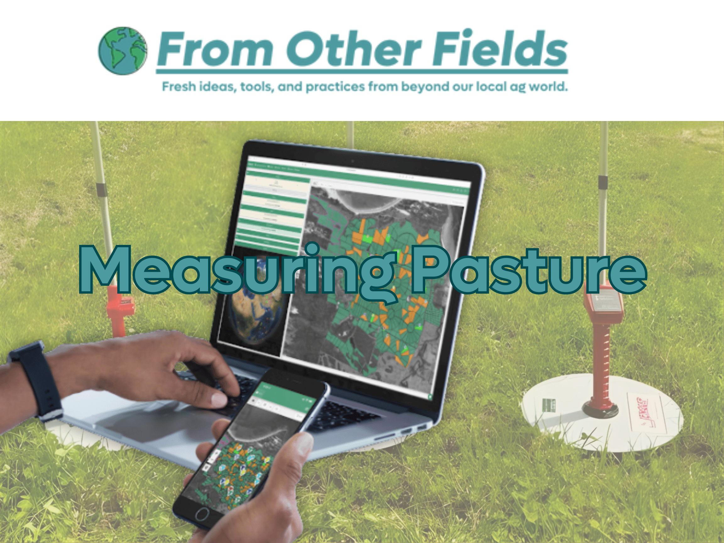
Satellite-Based Pasture Measurement: A Newer Approach
In many of the same regions where plate meters are common, producers are increasingly using satellite-based pasture measurement tools. These systems use satellite imagery combined with weather and environmental data to estimate pasture biomass and growth rates across paddocks.
Rather than measuring grass manually, producers receive regular pasture updates through a digital platform. These tools are designed to complement pasture walks by providing consistent data across large areas and over time.
For large ranches and extensive grazing systems like those common in Western Canada, this type of approach may be of interest because it can reduce the time required to monitor pasture. In some systems, reviewing pasture data and growth trends can take only a few minutes per day, compared to the time needed to walk multiple paddocks.
We have been in conversations with groups working in this space, including an Australian-based company developing satellite pasture tools, to better understand how these systems function in practice.
What This Could Mean for Western Canada
Satellite pasture measurement is not a silver bullet. Like any tool, its value depends on forage type, calibration, management goals, and how the information is used. Western Canada’s mix of native range, tame pasture, bush pasture, and variable climate means that any technology must be tested locally before it can be considered reliable.
That said, these tools may offer real advantages in regions where:
pastures are large and dispersed
labour and time are limited
weather variability makes year-to-year comparison difficult
producers want a clearer picture of pasture trends over time
producers like to implements high precision rotational grazing systems
This technology is already being used in other regions around the world. We are interested in what tools like this could look like in West-Central Alberta, where pasture types, weather patterns, and grazing systems can be quite different.
This conversation is part of our ongoing effort to keep an eye on new ideas and technologies being tested elsewhere, and to explore whether they have practical value for producers in our region.
“Learning From Other Fields, Not Copying Them..”
One consistent lesson from global grazing systems is that tools work best when they are adapted locally. Pasture measurement, whether done with a plate meter or satellite imagery, is only useful if it fits the realities of the operation using it.
Looking at how producers elsewhere measure grass helps us ask better questions about what might work here, and what would need to change to make it practical.
Help Shape What We Explore Next
If you have interest in measuring your grass with satellites or if you have come across a new tool, platform, or approach that you are curious about, we would love to hear from you.
Get in touch to see if Farming Forward can help explore, find funding, trial, or demonstrate how it might work locally.
Sources & Further Reading
Alberta Agriculture and Forestry - Pasture Management for Livestock Producers
https://www.alberta.ca/forage-and-pasture-management
Teagasc (Ireland) - Measuring Grass on Your Farm
https://teagasc.ie/crops/grassland/grass10/grass-measurement/
https://teagasc.ie/wp-content/uploads/2025/05/How-to-measure-grass-right.pdf
DairyNZ (New Zealand) - Pasture Assessment
https://www.dairynz.co.nz/feed/fundamentals/pasture-assessment/
University of Wisconsin–Madison Extension - Using a Grazing Stick to Create a Forage Inventory
https://cropsandsoils.extension.wisc.edu/files/2023/09/Grazing-Stick-Guide.pdf
Research Gate- Remote Sensing for Grassland Management: A Review
https://www.researchgate.net/publication/342253286_Remote_Sensing_of_Grassland_Production_and_Management-A_Review
Pasture.io - Satellite Pasture Measurement Explained
https://pasture.io/satellite